Three studies were completed for the Otay River Watershed SAMP:
- Assessment of Riparian Ecosystem Integrity (2004): This study conducted a baseline assessment of riparian ecosystem integrity in the Otay River Watershed by dividing the riparian ecosystems into “riparian reaches” and assessing each using a suite of indicators of ecosystem integrity. The study ranked riparian reaches in terms of hydrologic, water quality, and habitat integrity. This assessment of baseline conditions allowed for a comparison between riparian ecosystem assessment units under current and future conditions.
- Planning Level Delineation (2003): The planning level delineation identified areas that meet the jurisdictional requirements under Section 404 of the Clean Water Act at watershed scale covering regulated water bodies at a high level of accuracy. The study mapped geomorphic surfaces and sampled vegetation units in the riparian zones that represent several different return intervals to make jurisdictional determinations with regards to “Waters of the United States (WoUS), including wetlands" across the entire watershed.
- Riparian Ecosystem Restoration Plan (2006): The objective of this study was to facilitate development of an aquatic resources reserve program in the Otay River watershed through an evaluation of both the potential for restoring a riparian ecosystem, given the current condition within the riparian ecosystem as well as the adjacent landscape and drainage basin, and the "level of effort" required to restore individual riparian reach segments to their appropriate restoration template.
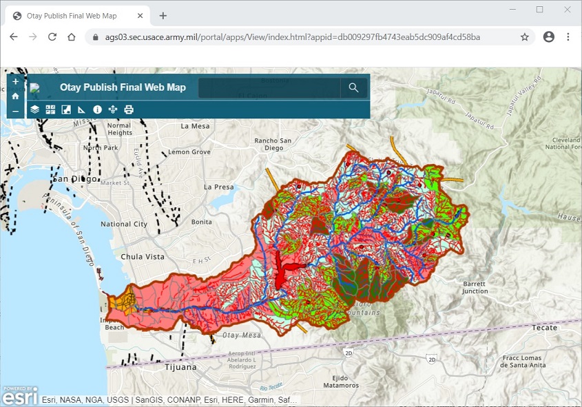
Geospatial Data Portal for the Otay River Watershed SAMP
The Corps' Geospatial Data Portal can be used to facilitate a "watershed approach" to data analysis and decision-making within the Otay River Watershed SAMP. The Portal enables users to conduct detailed desktop watershed analyses by overlaying spatial datasets produced by the SAMP studies with a wide variety of other landscape-scale datasets, including datasets for public open space, future development pressure, geology and soils, hydrology (e.g., flood zones, wetlands, etc.), water quality, habitat, land use/land cover, and historic aerial imagery.
Click here to access the Geospatial Data Portal for the Otay River Watershed SAMP.
