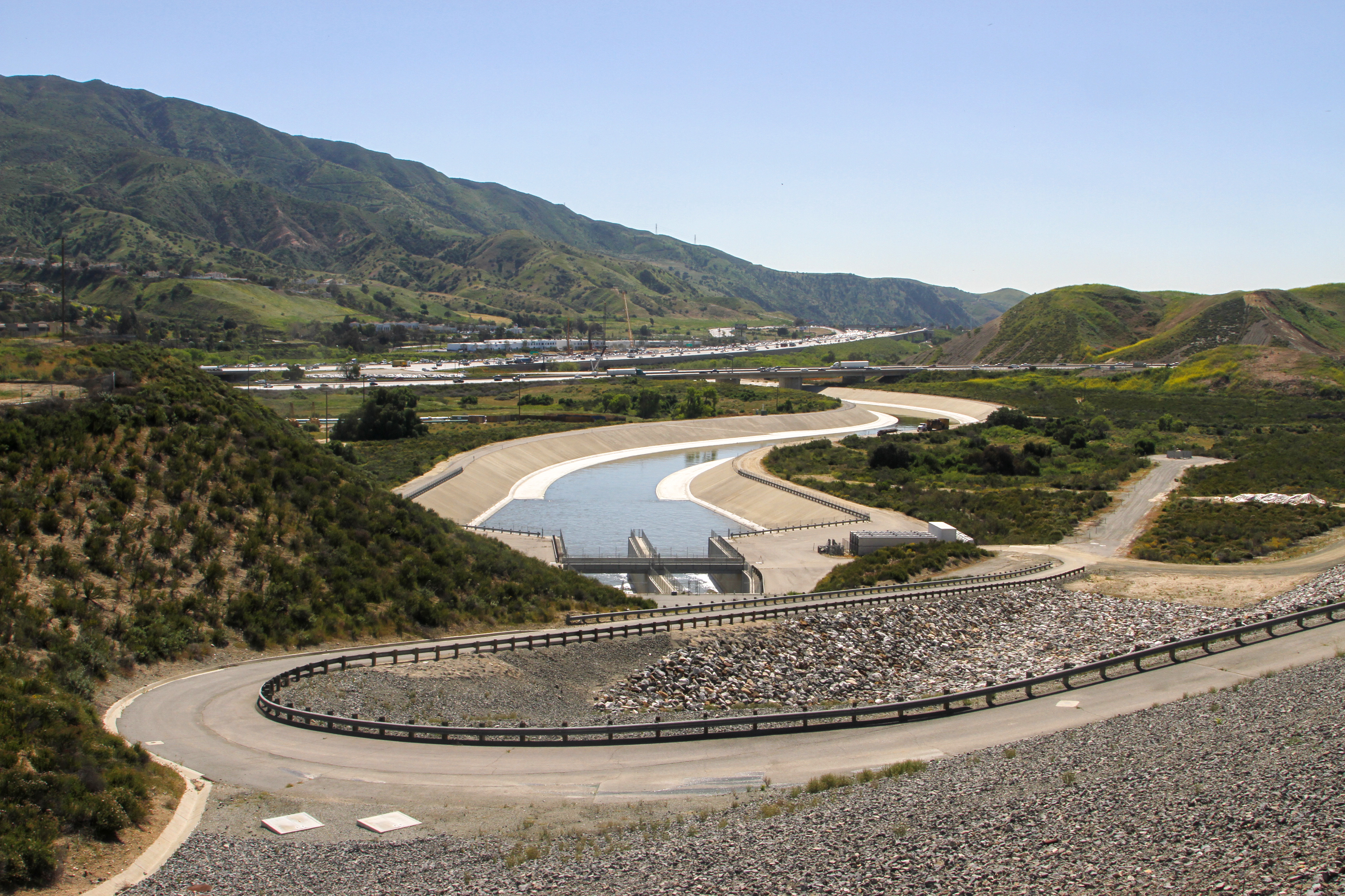
Prado Dam is a flood risk management project constructed, owned, and operated by the U.S. Army Corps of Engineers, Los Angeles District. The Dam is located in San Bernardino County, California, approximately 2 miles west of the City of Corona, and on the lower Santa Ana River approximately 30.5 miles upstream from the confluence with the Pacific Ocean. Prado Dam and Reservoir serve as the principal regulating structure on the Santa Ana River, and is comprised of more than 11,500 acres: 4,100 acres of which are riparian habitat; 4,823 acres are recreation areas, and 2,400 acres are owned by the Orange County Water District. The Corps owns 9,100 acres in the Basin. The primary authorized purpose of this project is flood risk management, followed by authorization for recreation and water conservation.
As originally designed, the Prado reservoir below the existing spillway crest elevation of 543 ft, NGVD29 has a gross storage capacity of 217,000 ac-ft, of which 205,000 ac-ft is utilized for temporary storage of flood runoff and the remaining 12,000 ac-ft for sediment accumulation over a 50-yr period.

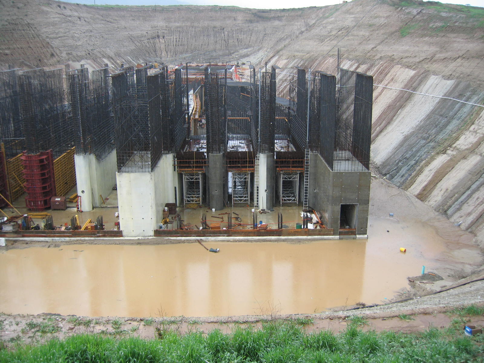
Since its construction completion in May 1941, the project has adequately performed its primary authorized purpose of flood risk management. The original project features were in excellent operating condition; however, project modifications were necessary to address flood risk management deficiencies resulting from a combination of increase in runoff sediment accumulation, change to severity of design rainfall, and the general impacts to the reservoir due to urbanization over much of the valley since 1939. Completing modifications to original project features, which include raising the dam embankment, installation of a new larger capacity outlet works, and raising the existing spillway, will allow the project to maintain its original project purposes.
For detailed physical data visit the Reservoir Regulation page.
Safety First!

Keep yourself safe when visiting the many public facilities in the reservoir by being aware if the potential for storms is being forecast. The Reservoir is designed to hold back large quantities of water and can fill very quickly. Check the local weather forecast before enjoying the many recreational opportunities in and around the reservoir.
Environmental Resources
The Corps evaluates environmental effects of all actions taken at the Dam and in the Reservoir. Biological surveys are conducted in the Reservoir throughout the year by the Corps and the Corps partner agencies. 
Prado Basin consists of a wide mixture of biological resources and habitats, including cottonwood/willow riparian forest, riparian scrub, herbaceous riparian, freshwater ponds, freshwater marsh, and riverine. Riparian forest is the most dominant wetland habitat in the Prado Basin. The dominant native plant species within the riparian forest are black willow, (Salix goodingii), arroyo willow (Salix lasiolepis), Freemont cottonwood, (Populus fremontii) eucalyptus, sycamore (Platanus recemosa), and mulefat (Baccharis salicifolia). Additionally, Prado Basin contains substantial quantities of non-native vegetation, that includes; Arundo (Arundo donax), Poison Hemlock (Conium maculatum), Cater Bean (Ricinus communis), Starthistle (Centaurea) and Black Mustard (Brassica nigra).
The riparian forest in the Prado Basin contains an abundance and diversity of bird species. Neotropical migrants depend on deciduous trees and shrubs for foraging during migration. The mature trees provide numerous cavities for cavity dependent wildlife and the taller trees are used by nesting raptors. The emergent vegetation at the water’s edge provides escape cover, shade and a source of food for fish. The basin supports a wide variety of mammal, amphibian and reptile species, several of which are biologically significant. Additionally, the Santa Ana River and Prado Basin function as a wildlife movement corridor to and from the Chino Hills.
Maintenance Activities

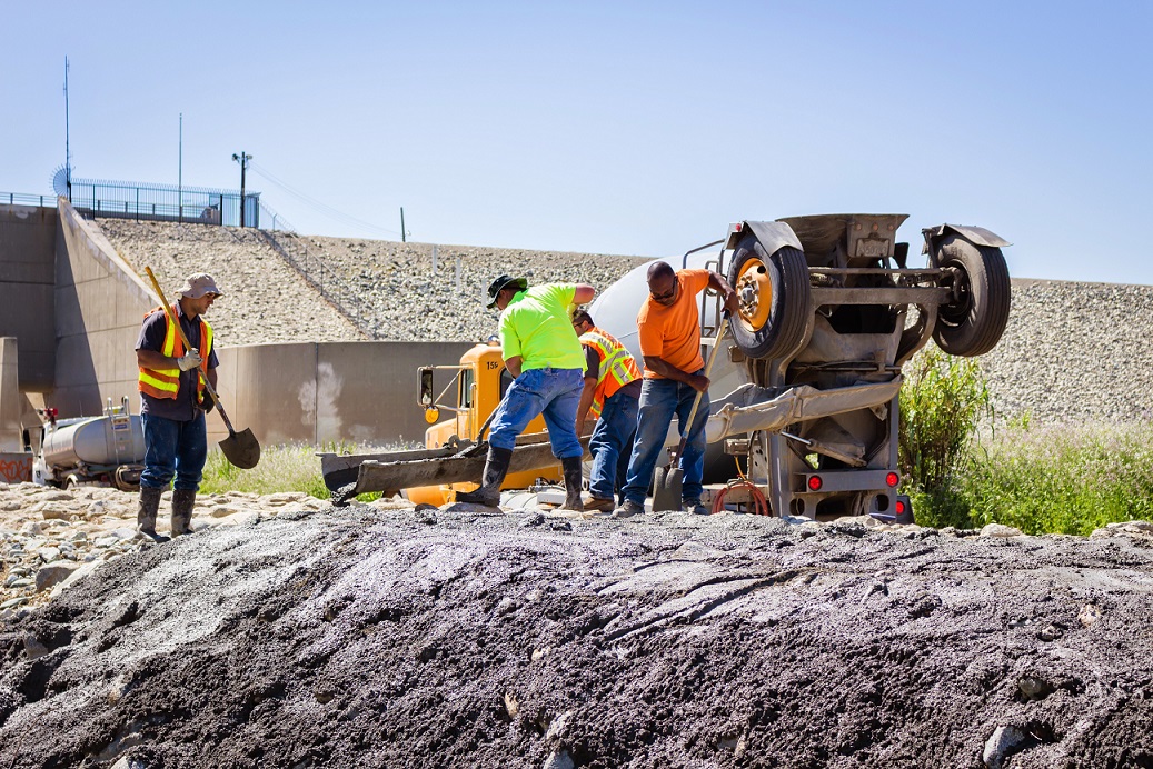
The Corps engages in routine maintenance activities within the operational areas of the Reservoir year round to maintain the operational capacity of the project. As congressionally appropriated funding allows, the Corps works to upgrade aging structures and systems. Annual maintenance activities at Corps-operated dams include grading of access roads, vegetation removal, and an annual safety inspection. In addition, the control house, gates, and all mechanical and electrical equipment are checked at each dam to make sure that they are functioning in accordance with the project’s Operations and Maintenance Manual. Graffiti removal, clearing of debris and sediment, and additional repairs are performed as routine maintenance of the facility.
Review Upcoming Proposed Actions
To review public notices on our upcoming proposed maintenance activities please visit the Public Notice postings page or click the “Public Notice” link found in the navigational side bar.
Questions, Concerns, Comments?
Let us know by filling out the comment form or click the “Contact” button in the navigation bar and choose Operations Division as the recipient.
The appearance of external hyperlinks does not constitute endorsement by the U.S. Army of this Web site or the information, products, or services contained therein. For other than authorized activities such as military exchanges and MWR sites, the U.S. Army does not exercise any editorial control over the information you may find at these locations. Such links are provided consistent with the stated purpose of this Web site.