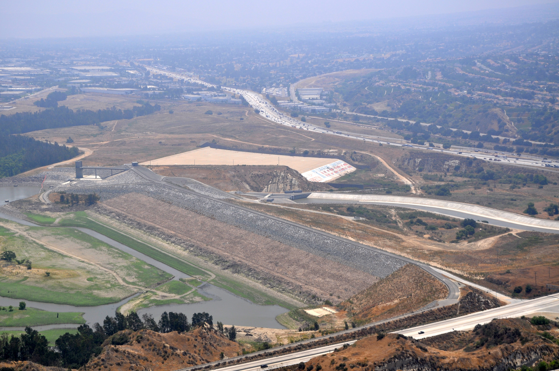
 The USACE Dam Safety Program uses a risk informed approach to manage its portfolio of over 740 dams. The Dam Safety Program seeks to ensure that USACE owned and operated dams do not present unacceptable risk to people, property, or the environment, with the emphasis on people. Life Safety is the program’s number one priority. Dam Safety Is a continuous process that involves dam monitoring, inspection, training, design and performance assessment, flood and breach consequence assessments, flood and breach risk communication, and emergency exercises. This risk informed approach is a best practice adopted to develop balanced and informed dam safety assessments and to efficiently prioritize and justify dam management and modification decisions.
The Los Angles District manages seventeen dams located in California, Arizona, and Nevada. The following dams are owned and operated by Los Angeles District:
California
Brea Dam, Carbon Canyon Dam, Fullerton Dam, Haines Canyon Debris Basin, Hansen Dam, Lopez Dam, Mojave Dam, Prado Dam, San Antonio Dam, Santa Fe Dam, Sepulveda Dam, Whittier Narrows Dam
Arizona
Alamo Dam, Painted Rock Dam, Whitlow Ranch Dam
Nevada
Mathews Canyon Dam, Pine Canyon Dam
National Inventory of Dams
The National Inventory of Dams (NID) is the central repository for information about dams in the U.S. and its territories that meet specific criteria. The congressionally authorized database shows the location of these dams and serves as a resource to support awareness and preparedness for a dam-related emergency. USACE is responsible for maintaining the NID and closely collaborates with federal and state dam regulating agencies to obtain accurate and complete information about dams in the database. More information is available in the NID Overview fact sheet and by visiting https://nid.sec.usace.army.mil/.
Flood Inundation Maps for USACE Dams
Flood inundation maps show possible flooding near dams. USACE creates and shares flood inundation maps for its dams to promote awareness and planning and emergency response activities before a flood occurs. Consistent with Engineer Circular 1110-2-6075, USACE will publicly share flood inundation maps for its dams. These maps are viewable within the NID. More information is available in the Dams and Flood Inundation Maps fact sheet and by visiting https://nid.sec.usace.army.mil/.