
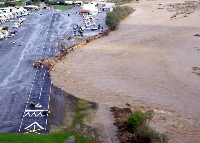
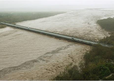
Images courtesy of Barbara Wampole
Study Purpose: The Corps of Engineers - Los Angeles District (Corps), Los Angeles County Department of Public Works, and the Ventura County Watershed Protection District have partnered together to prepare a feasibility study to support comprehensive flood risk management, ecosystem restoration and other water resources decision-making throughout the watershed, so that the river, its natural resources, the economic activities it supports, and the ecosystem services it provides are protected for generations to come. An array of multi-purpose alternatives will be prepared with the study partners and other interests throughout the watershed to identify the Federal interest in future water resources projects.
Study Status: To date, this unified watershed planning approach has developed comprehensive hydrologic and hydraulic models for over 300 miles of the Santa Clara River and tributaries. A geomorphic assessment of the watershed has also been completed. A sediment transport model is being prepared at this time. Follow the Ventura County link below for the hydrologic model report. Links to the Corps Hydraulics report are provided at the bottom of the page. The LA County Department of Public Works will be preparing the sediment transport model.
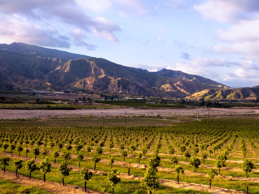
Study Area: The Santa Clara Watershed Study covers 1,600 square-miles, including the river and tributaries, a variety of urban communities, a thriving agricultural industry and critical habitat links to the Pacific Ocean and major portions of the Los Padres and Angeles National Forests in Ventura and Los Angeles counties.
Study Participants: The study partners recognize the contributions of multiple other interests to the progression of this study, including: The Nature Conservancy, the Integrated Regional Water Management (IRWM) groups, the City of Santa Clarita, and the Federal Emergency Management Agency.
Tributaries Included in Hydraulic Model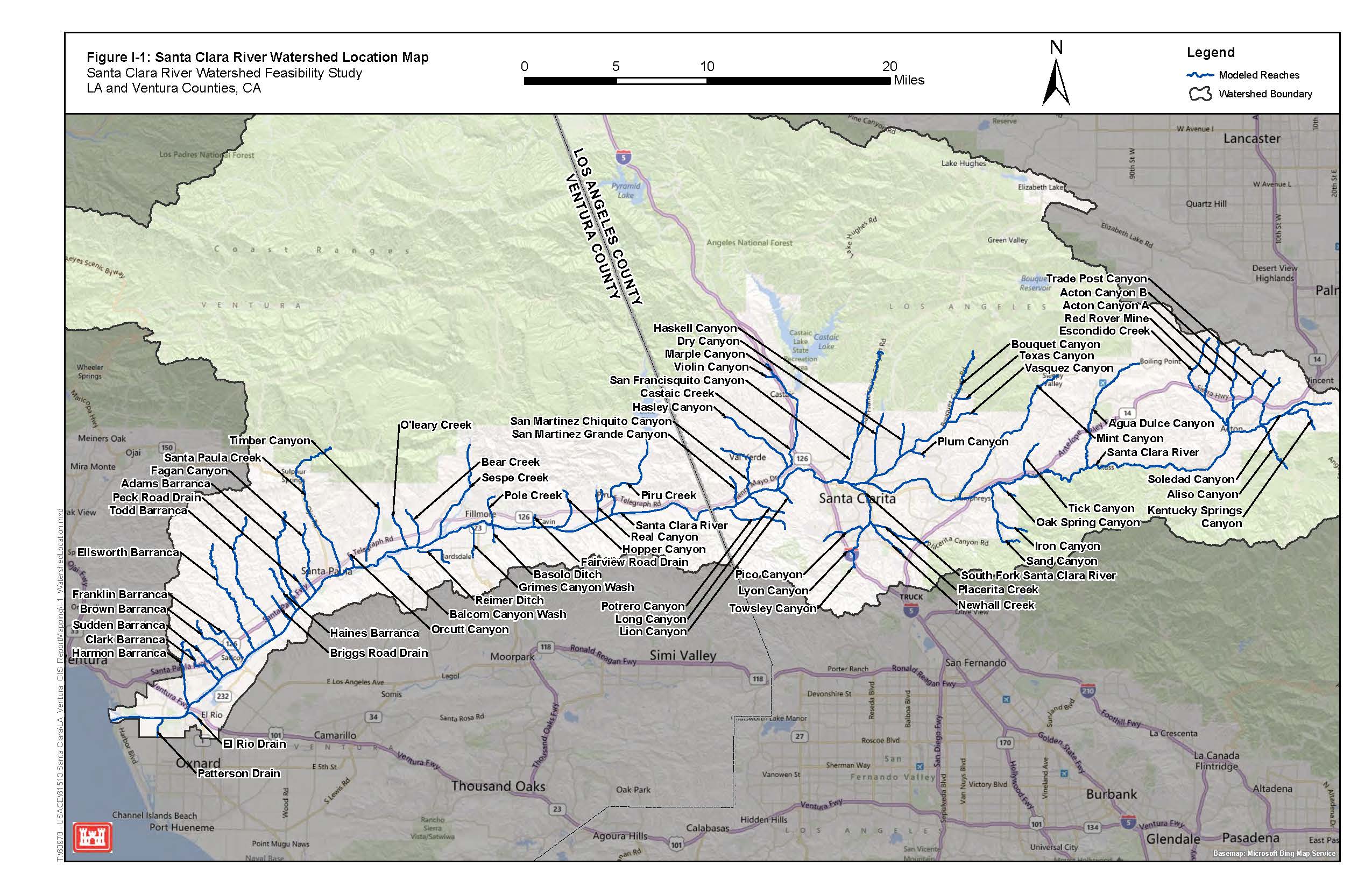
Santa Paula Airport flooding January 2005 flooding at Harbor Blvd Bridge
Study Partners: Santa Clara River Watershed Links:
 Ventura County Watershed Protection District
  Los Angeles County Department of Public Works